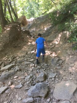
Ride date:
Sept 30- oct 2
Vehicles:
@joeymt33
@JACKAL
@PioneerPete
@scott
@Hometeam
@BIGRACK
@Windrock1000
Passengers:
@Hondasxs
Trail Directions for going from Sundquist to Windrock starting at Trail 12 that ends at Shell Station / El Ray's restaurant.
All descriptions trail names below are from this GPS trails map pack that is free to use and works on Garmin GPS and any Android device running ORUXMAPS application.
North Cumberland OHV / ATV Trails v2.3, TN Garmin Compatible Map - GPSFileDepot
Take TN 63 West under I-75 continue past Comfort Inn to 1st road going left. Approx 1/ 2 mile. This is Titus Creek Road.
Go on Titus Creek Rd until you get to a gate then go left onto Trail TC 1 also splits into TC 2 both rejoin after approx 2 miles back into TC 1.
Take TC 1.1 RED trail 1/2 mile to connect with TC 5 & TC 6 trails go South 1 mile to TC 1.3 RED trail. Take TC 1.3 1 mile WEST to Red Ash Parking area.
Take Red Ash Rd 2 miles West to trail RBS 1 following it SOUTH 2 miles to a split where it meets Tower 1 Rd.
Here we have a choice of going Right on Tower 1 rd to Windrock on Trail 57 RED in NW corner of Windrock or Left on Tower 1 Rd to Windrock on Trail G51 GREEN in North Central Windrock.
Here is way to T57 RED - at RBS 1 , Tower 1 split go right heading SW 1.5 mi. to a 4 way split. Continue SW to Tower 2 into Windrock terminatiNguyen at RUINS POI 1/4 mi. inside Windrock. Here there is a 3 way split, from right to left is trails RBS 4 then that takes you West out of Windrock or on RBS 3 South thenot go left onto RBS 6 then RBS 7 that ends at Windrock T57 RED.
Here is way to GLC 5 / G51 GREEN - From RBS 1 / Tower 1 split go LEFT to Windrock GL 5 then to GA 51 Green.
Either of these will have us inside Windrock in about 2 hours from the Shell station at I75 exit 141.
SCENIC / FUN Route will add another 2 hours to Windrock or more depending on playing in huge rock creek beds close to Eternal Flame POI. Also adds at least 1 technical butt pucker trail. Wife and I made it ok without using winch but not without worrying.
From Red Ash Parking go right NORTH on Turley Mt. Rd. 2 miles then WEST onto RBS 9. Continue straight onto Dean Rd. going W / SW for approximately 3 miles to Log Rd. 1 going to Eternal Flame POI. From Eternal Flame take RBS 10 for 1 mile to RBS 12 for 2 miles coming out at a 3 way spilt take center route on LPR trail for 1/2 mi. to SHR trail for 2 miles terminating at Tower 2 Rd. Here we can go RIGHT following above into Windrock T57 or go LEFT to Tower 1 Rd following above to Windrock G51.
This would be a 4 to 6 hours run into North end Windrock taking abut 1/2 tank of fuel.


