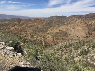
So...the areas east of Winkelman are not something I'm familiar with, but the aforementioned Chililto mine is a good ride with lots of old mining. Further up 177 towards past Kearny, old ray road heads up the mountains to the Greyhorse mine mentioned in the blog above. Nice views up there.
The area to the west of winkleman, Kearny etc is an area I'm pretty familiar with. The problem down around winkelman is getting across the river from 77 to access it. The only guaranteed to be open way I know of is to take dudleyville road off 77 then cut west on San Pedro road. This fords the river on concrete slab and seems to be fairly shallow even at high flow rates, but obviously you'll want to test this. Once on that side of the river it seems like pretty much any of the washes to the west will lead to something. There are a few private ranches back up in the area and they are clearly gated and marked, but for the most part it's all public land and you can ride for days. There are a few pipeline trails in the area as well. The further south you go, the less exploration I have done.
One of the best places to go...again... Is to head up to Kelvin and take the Florence Kelvin highway for a few miles. After you hit gravel, you climb a bit and pass a trailhead for the Arizona trail, you'll drop down into a wash near a ranch. This is Ripsey wash, which can be a feeder for several other trails, and has Ripsey mine near the south end. You can Google ripsy mine and find out a lot more than I can really tell you here, but it's a pretty popular stopping point and a lot of infrastructure remains, including a few open shafts.
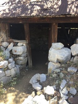
Directly across the peak from ripsey mine, to the east, another forest service road will take you up to the florence-lead and silver mine, which also has a horizontal shaft and some infrastructure left behind, and an old mining shack. Further down the canyon is hackberry mine in the edge of hackberry wash. There's a couple of old buildings there but there's not much in the way of tailings or anything. Hackberry wash, again, can be used as a feeder for several other trails including to make a loop back over to what's called the tecote ranch road.
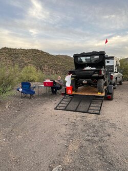
If you stay on Florence Kelvin highway and keep going to the top of the mountain, you'll come across the Western end of tocote ranch road on the east side of the road....Though at this point it's called Old Florence Kelvin road (not to be confused with "New" Florence Kelvin highway that you're driving on) on some maps. There are no signs for it, so you'll need to have a map app open. I usually park somewhere around this area when I ride around in those canyons and roads. Tocote/old Florence Kelvin runs all the way over to Freeman road, which is a nice graded road that comes out almost directly across from the San Pedro road River crossing. So you can see how you can use all these roads to make loops and explore the areas within them. As I said, the only places you can't go are clearly marked with Gates and posted signs, so there's not much to worry about as far as going where you shouldn't be. Coincidentally, that climb up from lipsy wash to the top of the mountain is the area where the Apache kid was last seen alive. You'll notice a private road that makes homage to this.
And then there is the west side of Florence Kelvin, Walnut canyon, the boulders, old Cochran Ghost Town site, the Coke ovens which are private property, and so on and so forth.... That's a post for another day...


