DG Rider
Member: Triple Clutch Club
Lifetime Member
I think most of that is STL, so no. I've been trying to find a app map for BLM land.is Florence open???
I think most of that is STL, so no. I've been trying to find a app map for BLM land.is Florence open???
we have some in maricopaI think most of that is STL, so no. I've been trying to find a app map for BLM land.
I think most of that is STL, so no. I've been trying to find a app map for BLM land.
Thanks!Maybe this will help, it's one of the tools my buddy uses to create routes/overlays. He often uses this when creating a route to check the status of the land. CalTopo
The free version gives you a lot of features, here's a screenshot I Just took with the public lands box checked. The legend for what the colors mean are at the bottom.
View attachment 282036
Thanks for sharing.I was out jumping rabbits on the way to check out an old spot for chukkar hunting. I got to play in some sandstone, rock, and sand on the way out there.
View attachment 282054
View attachment 282055
You can't see it, but directly behind her is a cattle trough/bird guzzler filled with fresh water. Should holds some birds come October. Stopped to refill the tank and mags.
View attachment 282060View attachment 282061
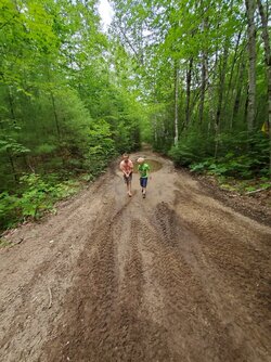
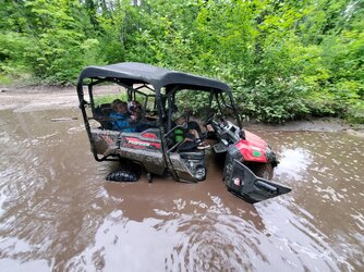
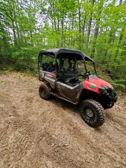
Thanks for sharingAnother trip to ride trails in Bayfield County in the Lake Superior area. View attachment 282946View attachment 282948View attachment 282949


Love the picture, thanks.East of Mosquito Pass a couple of days ago -
Life at 12,500 feet, give or take -
View attachment 283883

